Why Robinson Creek?
The Canadian border is closed to all hikers, so hiking Section L requires reaching the Northern Terminus from the US, then hiking southbound on the PCT. Typically hikers start northbound from Harts Pass.
For early spring hikers wishing to avoid hiking in the snow both directions, they might chose a lower route north. This strategy also gives the PCT a few more days to melt.
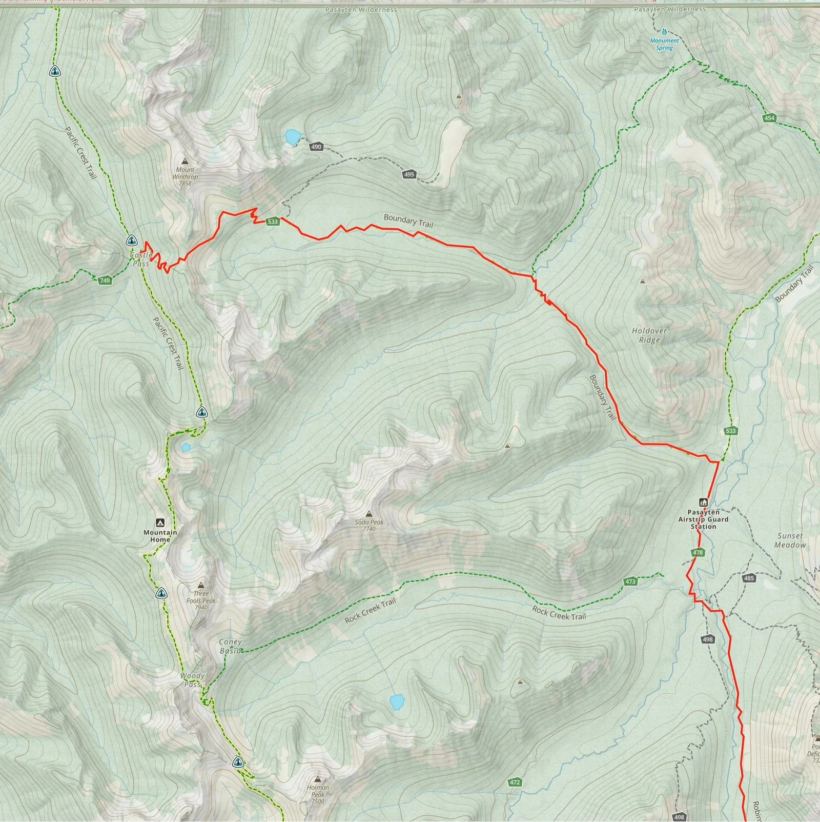
The Robinson Creek route is ideal because it stays low and because it's quite direct. The PCT is going to keep you mostly between 6,000 - 7,000 ft. whereas this route will keep you mostly well below 6,000 ft, going above that only at Robinson Pass (6,223 ft) and Frosty pass (6,490 ft). The river crossings are around 4,300 ft. Because it starts in Mazama, hikers can wait until the last minute before they choose their route. Robinson Creek is accessed by the lower part of Harts Pass Road.
This route totals 33.4 miles from the trailhead to the PCT at Castle Pass and includes 6,531 ft of overall elevation gain.
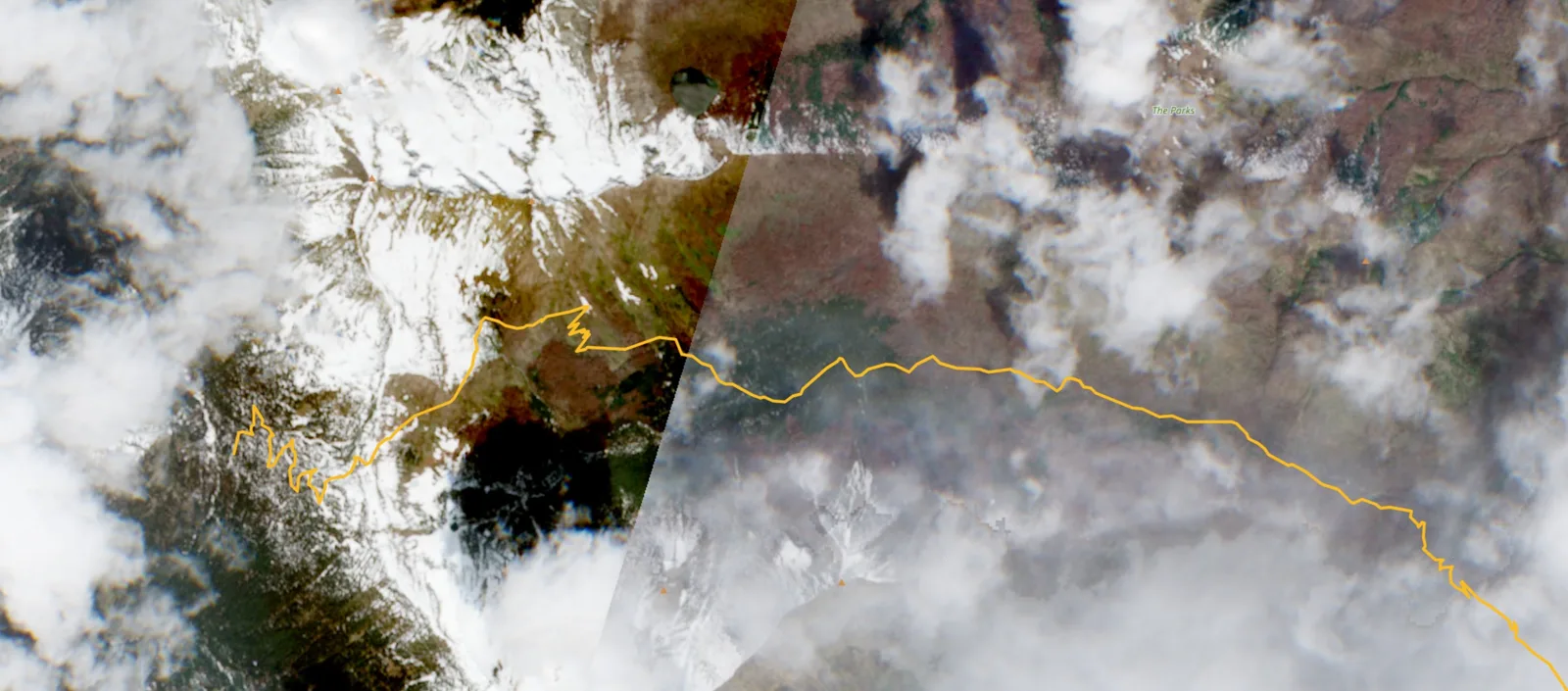
Below: Example of snow on Frosty Pass Trail but not on the PNT leading to it from the right (2025 April 1)
Robinson Creek Trail to Frosty Pass
Robinson Creek Trail starts near the Ballard Creek Campground on the lower end of Harts Pass Road.
!2026: blowdowns A March 27th trail report counted 38 blow-downs on the first 3 miles. We can expect more father along the trail. I found no reports of blow-downs on the trail from the previous year. On June 1st the first three miles of the trail were logged out.
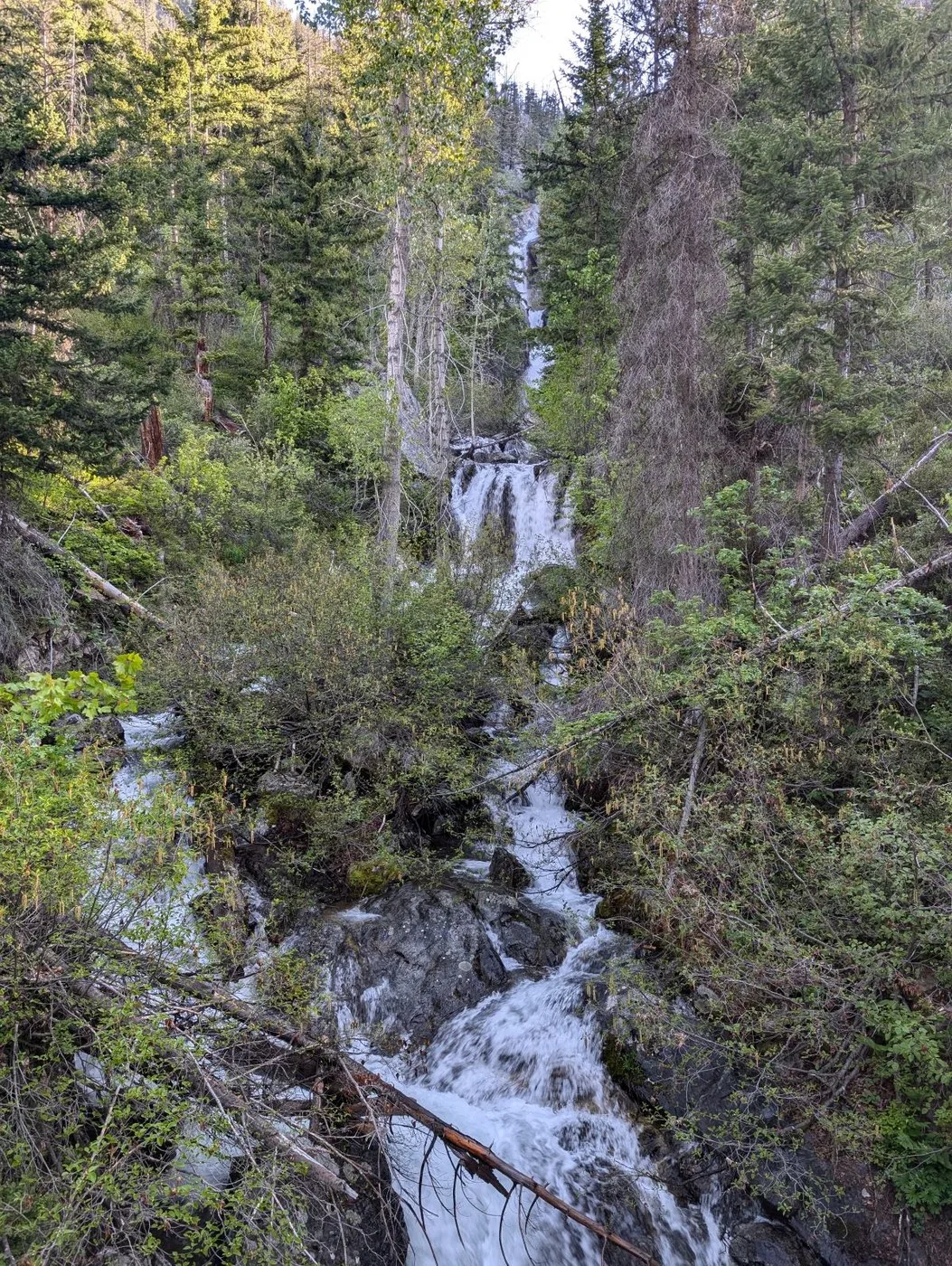
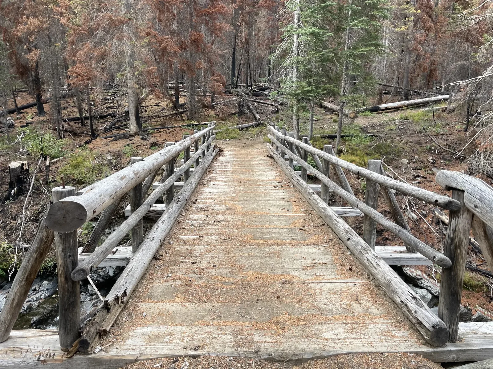
2.7 miles in from the trailhead you will reach the bridge over Beauty Creek, beneath Beauty Falls. Photo below:
8.3 miles in pass by the intersection with Slate Pass Trail (5,774 ft.) and continue north on Robinson Creek Trail 478. At 9.2 miles you will reach Robinson Pass. From there you will follow the Middle Fork Pasayten River downhill for 14 miles to its connection with the Pacific Northwest Trail (PNT).
20.2 miles in you will reach the bridge across the Middle Fork Pasayten River, just beyond this point is the ruins of the "Three Forks Cabin" which collapsed in 2016. You will cross two more bridges over the next half mile. The three forks area has numerous trail intersections. Stay on Robinson Creek Trail 478.

The last of the three bridges is the nicest one, Rock Creek. Photo credit: Caro "Bandit".
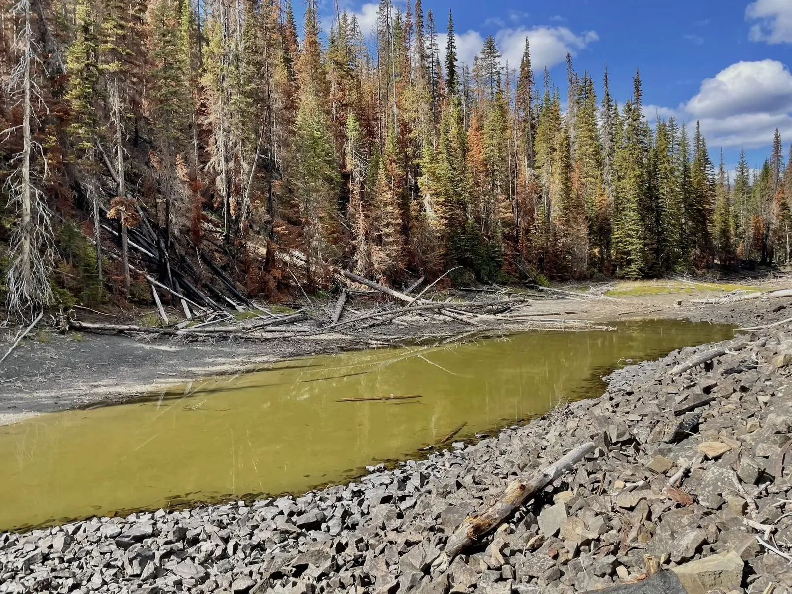
The Burn Zone
In the Three Forks area hikers will enter the burn zone of the 2022 "Parks" and "Kid" fires. Hikers will not depart the burn zone until they are more than half way up Frosty Creek. The area immediately around the Pasayten Airfield Cabin is unburned. Perhaps it was defended by firefighters.
Storms in mid August 2022 brought exceptional lightning that started numerous fires. By September 12th the Kid (south) and Park (north) fires merged at a spot on the PNT. The fire burned until Christmas consuming 32,000 acres. It came within 2 miles of the PCT but ultimately never touched any part of it.
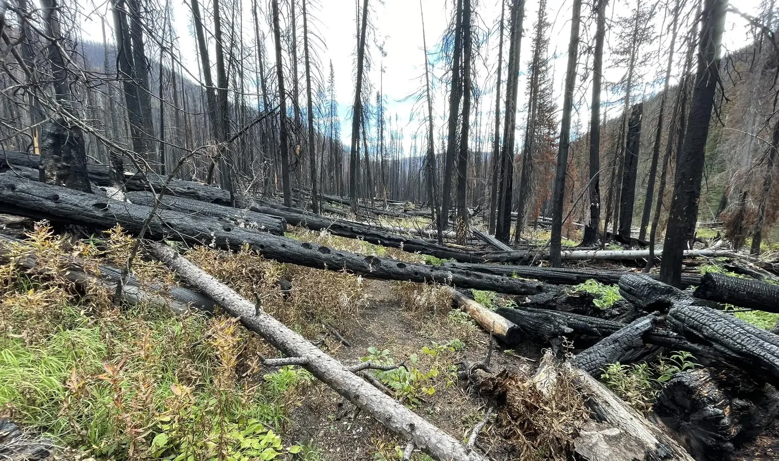
On September 1st 2022 the PCT was closed north of Holman Pass because of these fires and any northbound hikers who had not already reached the northern terminus were denied that opportunity. Some hikers chose to touch the border at other locations to the east or west of Monument 78.
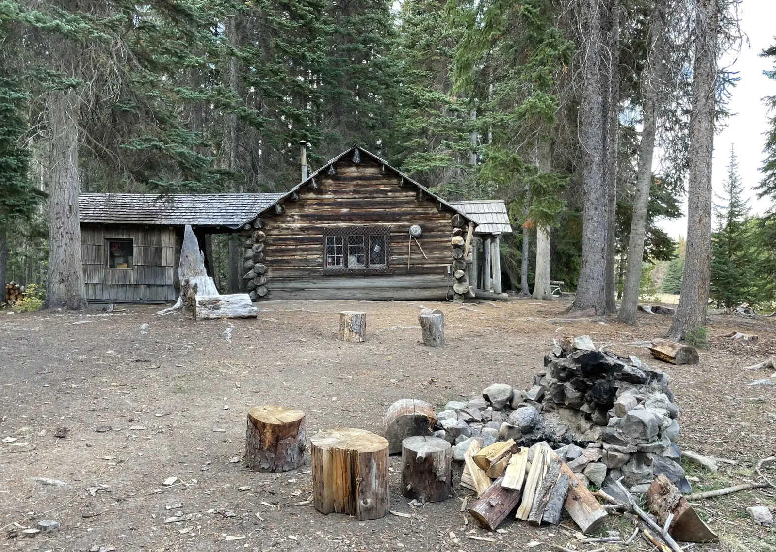
At 21.7 miles you will pass by the intersection with Lease Creek Trail to the east. In a tenth of a mile you will pass the Pasayten Airfield Cabin on the west side of the trail.
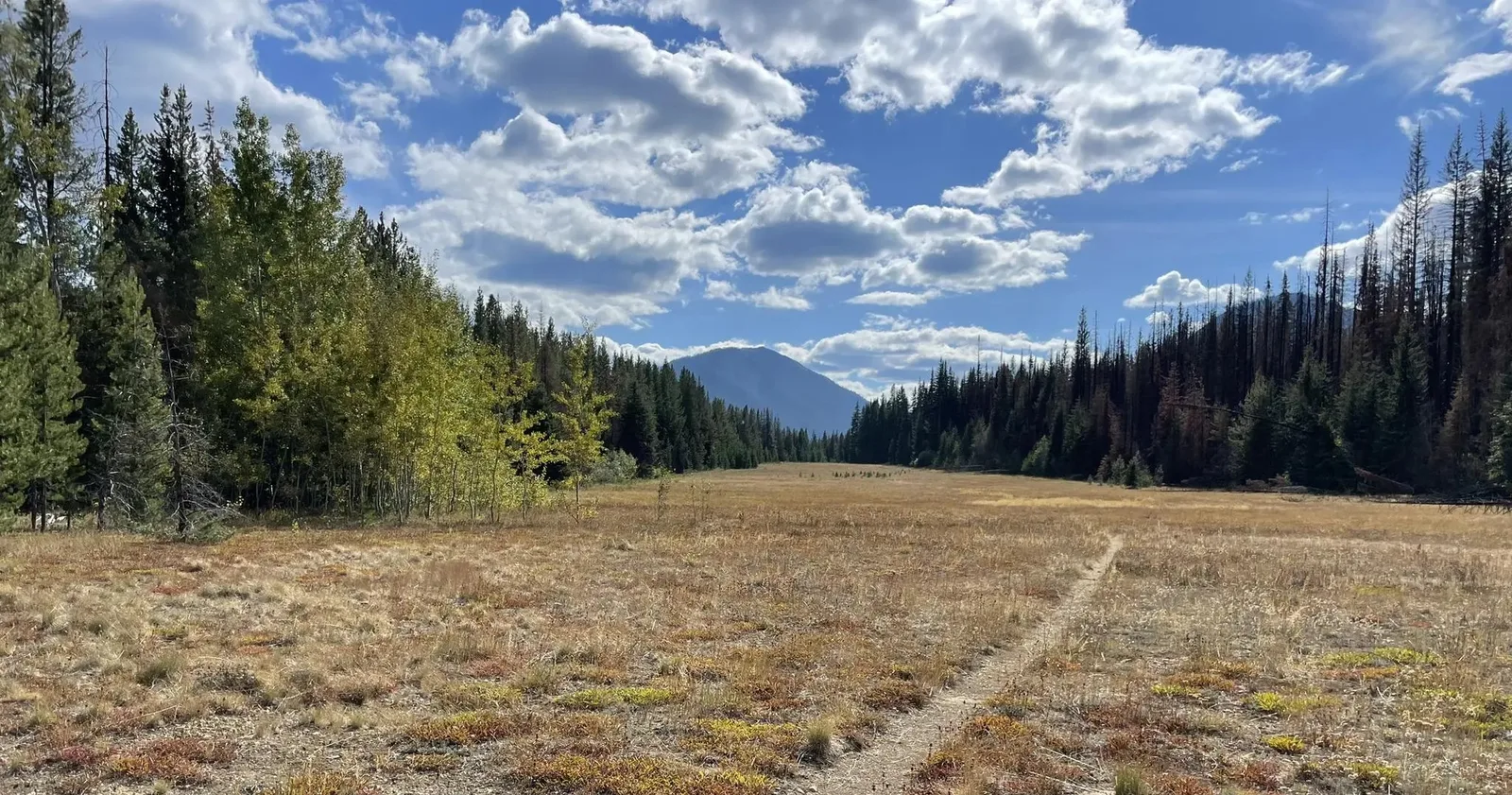
The trail takes you down the center of the open airfield, then plunges back into the forest at the other end.
At 22.5 miles you will reach the tee with Trail 533, aka Boundary Trail, aka PNT. Head west on the PNT and cross to the north side of Soda Creek, then follow the valley up to Dead Lake (5,120 ft), 27.6 miles in.
After Dead Lake its downhill for 1.5 miles to the ruins of Chuchuwanteen cabin and the crossing at Chuchuwanteen Creek at 26.2 miles in. Then the climb up Frosty Creek Valley begins.
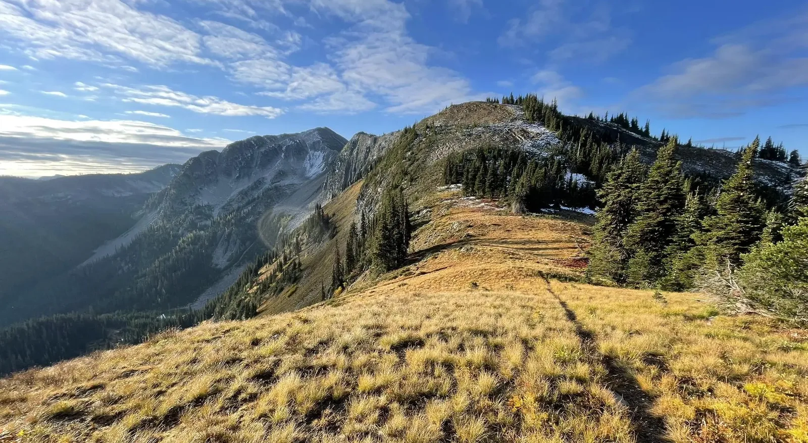
When you reach Frosty Pass you will be greeted with stunning views including Castle Peak to the NW.
Below: Frosty Pass looking south. Castle Pass to the right.
Descend the 1.5 miles and six switchbacks to Castle Pass (5,460 ft) where you connect with the PCT.
Below: Signs at Castle Pass, facing east.
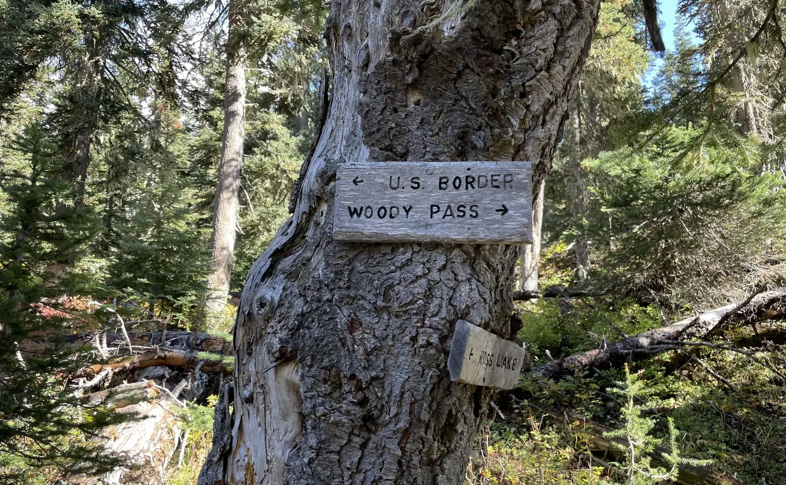
From Castle Pass its only 3.7 miles on the PCT to the Canadian border.
Slate Pass Route
Slate Pass is a direct way to connect with the PCT and is a good option after all the snow has melted. Slate Pass (6,935 ft) itself is one of the last parts to melt in this area.
From Robinson Creek to Slate Pass you will gain 1,155 ft of elevation over 2.6 miles. The trees open up more and more and there is an open meadow at 6,160 ft where you cross over into the Middle Fork Pasayten River valley. The trail continues upward and ends with a traverse of a steep scree-covered slope below Buckskin Ridge.
At Slate Pass you can chose to
- walk up the road to the summit of Slate Peak. There is not a good way to connect with the PCT from there. So, you will have to backtrack or try your luck following the rocky ridge for 1.4 miles.
or - take the connector trail S/SE down the road to the second parking area where there is a seasonal spring just north of Harts Pass (the next water on the PCT might be at Tamarack Peak 4.8 miles away)
or - head northbound on the PCT by walking the road downhill, due west, until you reach the next hairpin turn. Instead of turning, continue west off the road onto the short connector trail to the PCT.
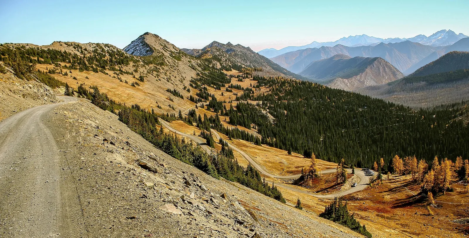
Below: View from Slate Peak looking south to Harts Pass. The connector trail to the PCT in the lower right corner of the photo.
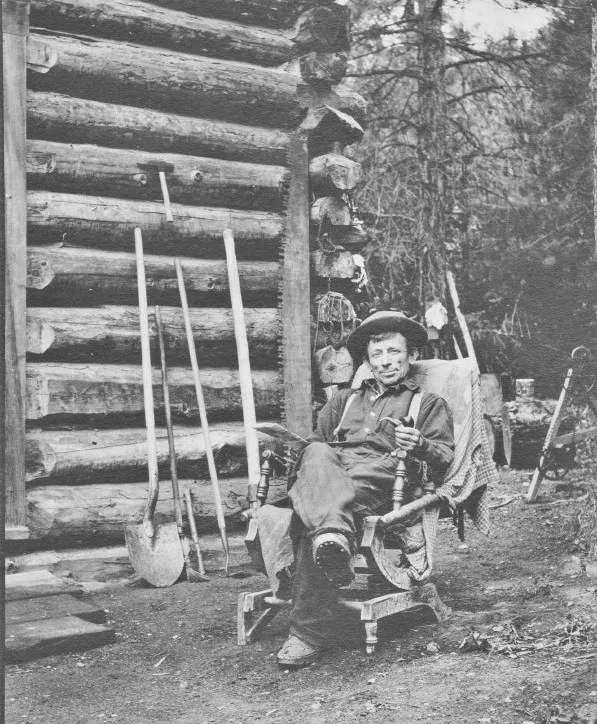
Billy Robinson
William "Billy" B. Robinson is the namesake of Robinson Creek where he had a mining claim. His cabin was at the mouth of the creek near the current road, possibly at the current trailhead.
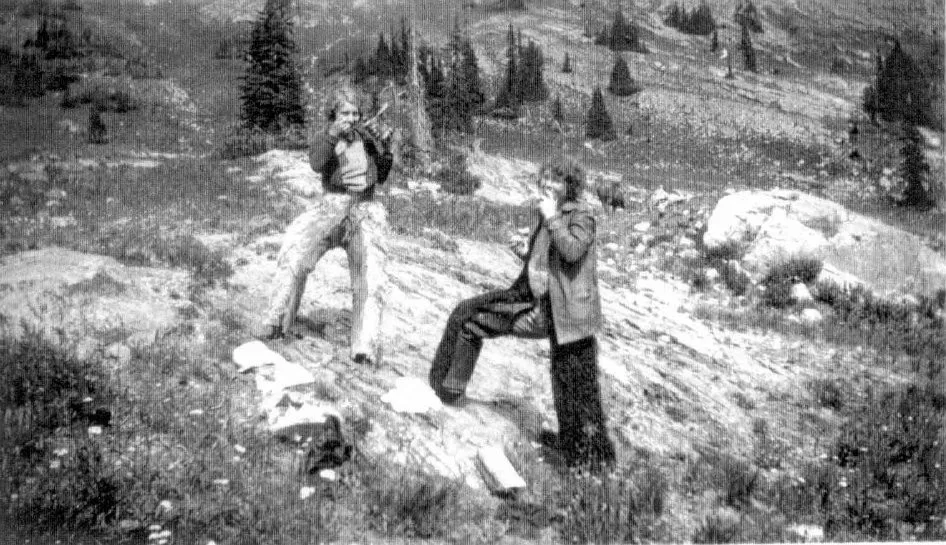
Below: Arlean Perrine and Peggy Tideman stop for lunch at Robinson Pass. Both are wearing angora chaps.