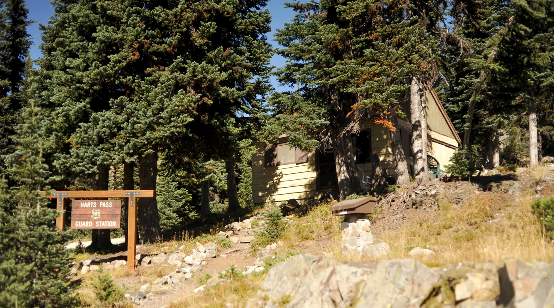
Harts Pass is the northernmost road access to the PCT in the US. Elevation 6,200 ft. There are two separate campgrounds, vault toilets, bear lockers for food storage, and a guard station. A road continues north 2.3 miles to Slate Peak

Harts Pass Road
The Hart’s Pass road was built in 1895 by Charles Ballard to access the mining towns of Baron (48.75427, -120.71697) and Chancellor (48.75742, -120.79517) and the gold and silver mines around Slate Creek, Bonita Creek, Canyon Creek and Mill Creek. These mining towns were well established and had over a thousand permanent residents. They had hydro-electric power, a general store, sawmills, blacksmiths, hotels, a post office, and a saloon (one sawmill is on display at the Shafer Museum in Winthrop).
The road from Mazama was a narrow gauge wagon road, so they had to cut down wagons to make them narrower to carry supplies to the mine, and horses were used in single-file pack strings.
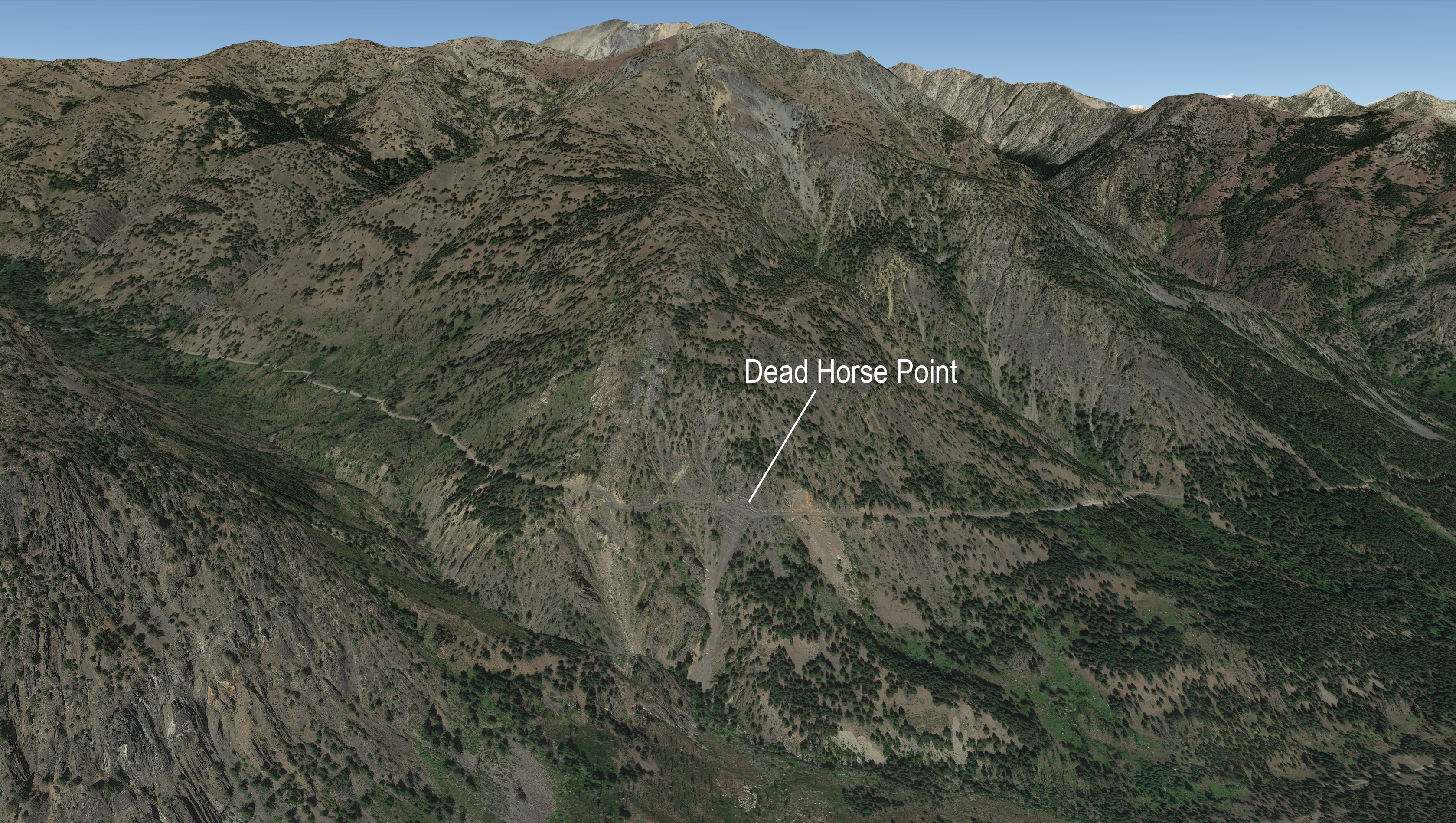
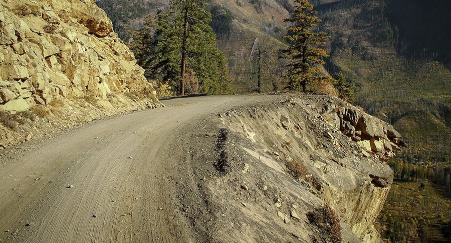
At some point the Forest Service designated it Road #5400. Most of the road is no worse than any typical one-lane mountain dirt road, but the 1 mile of road around Dead Horse Point is, to me, terrifying.
Dead Horse Point
Prior to 1935 the steepest and most exposed part of the narrow road was made passible by adding wood planks suspended by steel bars pounded into the hillside.
In the late 1890s a pack string was headed in with supplies, lead by Frank Willis and a boy. I've read differing stories about what caused the last horse to lose its footing at that narrow spot, but regardless of how it started, because the horses were all tied together, the entire string of horses were pulled over the edge one by one. Together they fell 750 feet to Rattlesnake Creek. Because of this sad tragedy that narrow stretch of the road is called Dead Horse Point.


Improvements
A 1935 Appropriation Act funded the widening of the road so a normal car could travel it from Mazama all the way to Canyon Creek, 10 miles west of Harts Pass. That improvement allowed the ore and gold to be freighted out by trucks instead of narrow wagons.
In 2007 the road was blocked by a slide at Dead Horse Point. In 2015 the road was blocked by another rockslide at Dead Horse Point. Extensive repair at Dead Horse Point was done in July 2016 and August 2017 by the USFS. In the spring of 2023 the road was closed once more due to a washout just down the road from Dead Horse Point. Mary's video
Harts Pass Weather Station
Harts Pass is home to perhaps the most valuable weather station for PCT hikers in Washington because of its high elevation (6,490 ft) and its location on the cooler east side of the Cascade ridge. This is a SNOTEL station (SNOw TELemetery) installed and maintained by the Natural Resources Conservation Service (NRCS) of the US Department of Agriculture. HARTS PASS station HRPW1 48°43'13.76"N, 120°39'31.08"W, one half mile east of the guard station. The installation was completed October 1st 1979.
Harts Pass Guard Station
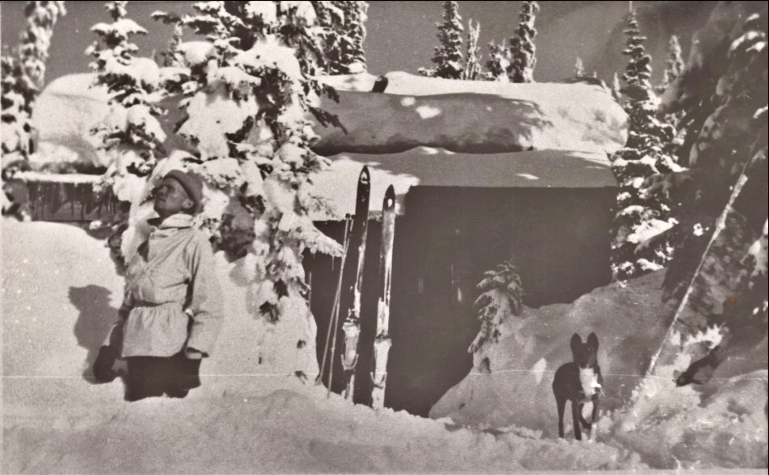
A cabin at that location is on maps since 1922. The Harts Pass Guard staion was built in 1942 and the first occupant was Rufus R. Blevins who lived there year round and traped. Today, when there is no snow, there is often a ranger at the guard house.

