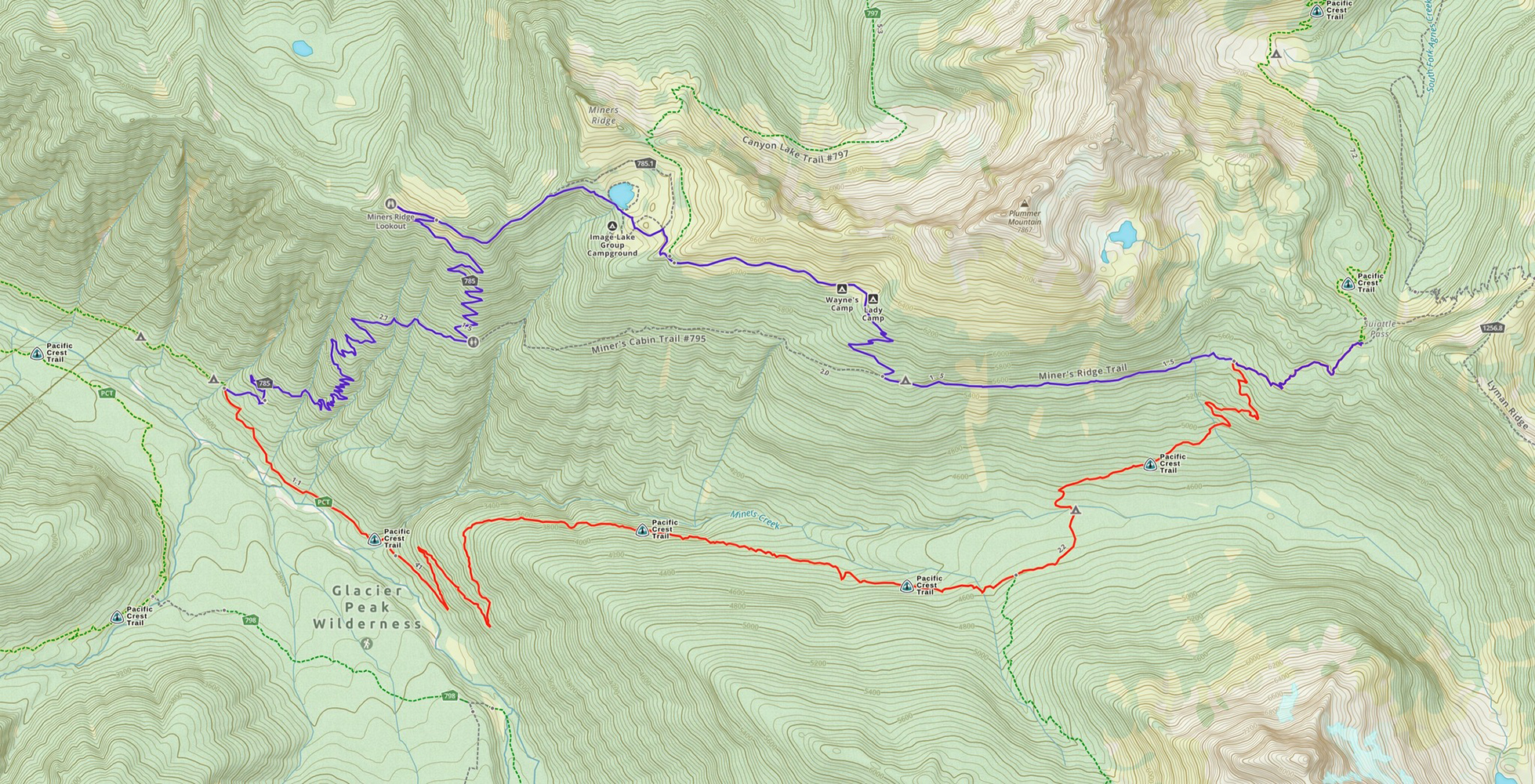
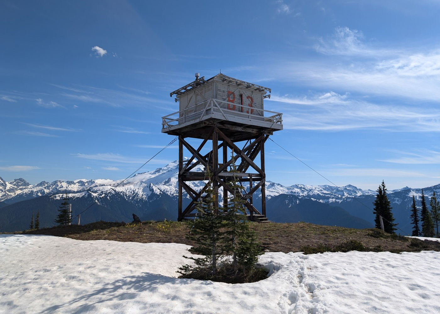
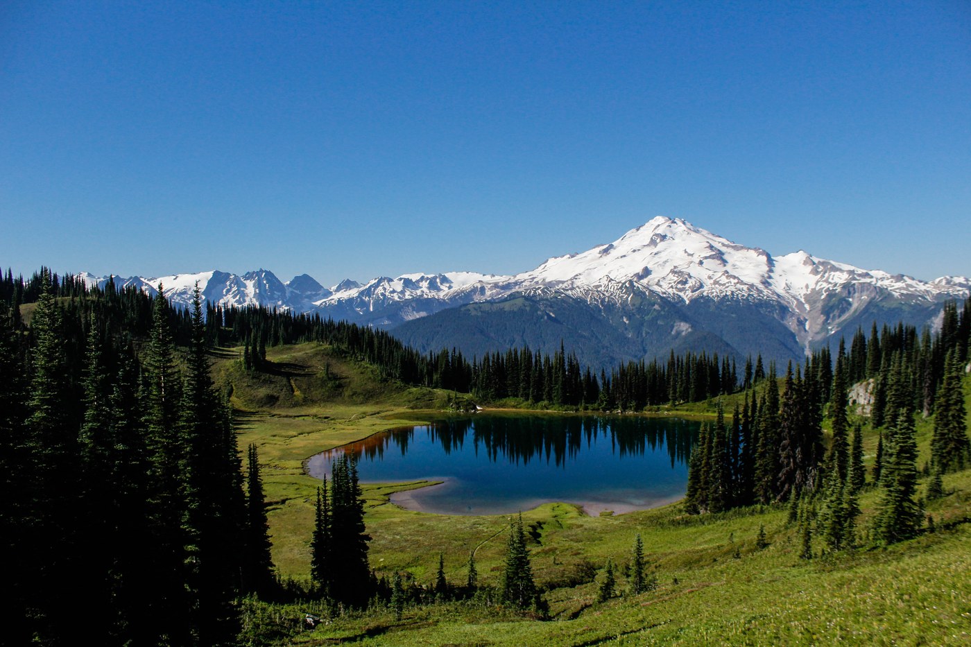
(mm 2546.5) You will see a trail the departs the PCT and heads uphill at an angle. This is where some hikers choose to pay a few hundred feet in extra elevation gain to hike above the tree line visit a lake and a lookout rather than follow the river in the densely forested valley.
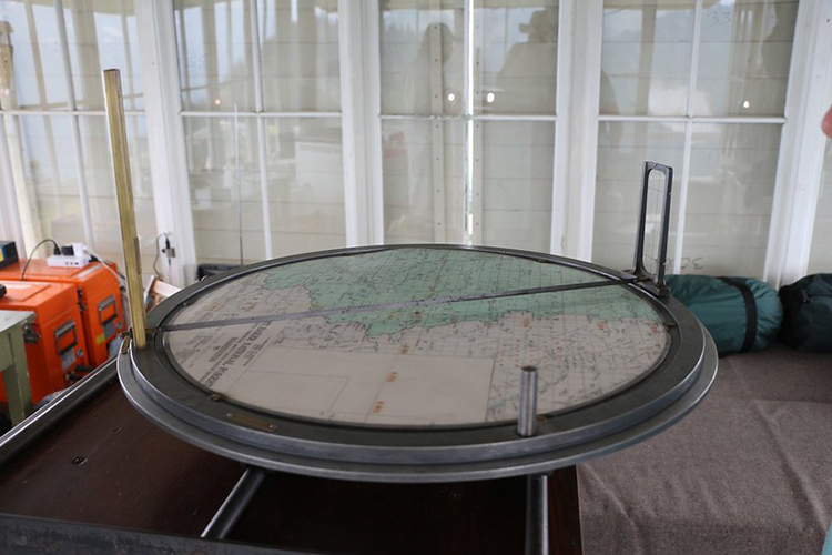
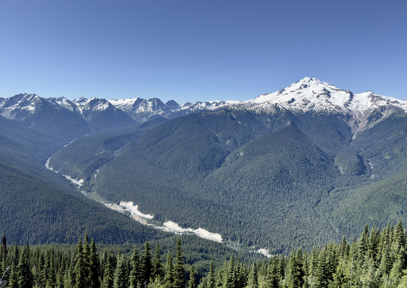
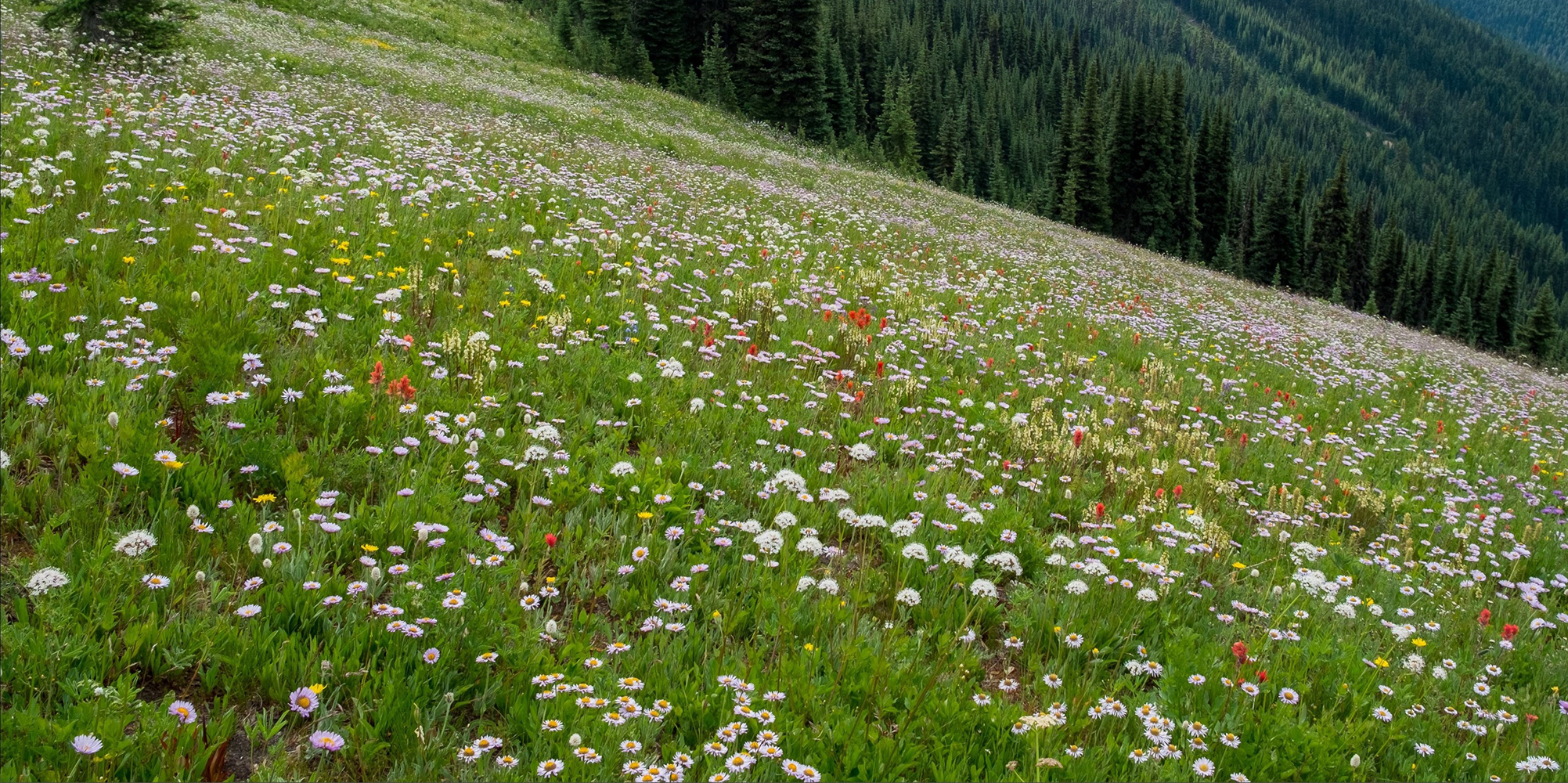
This alternate route will add 1.88 miles and 846 ft nobo or 830 ft sobo, if you include the lake and the lookout tower. This Miners Ridge alternate route offers incredible views of Glacier Peak and the surrounding mountains as you walk sloped grassy meadows, visit a gorgeous lake with a view, and a relatively new fire lookout station.
The 4.5 miles of switchbacks at 886 fpm between the river and the lookout are not fun, but the rest of the trail is 5.5 miles of cruising along at ~6,000 ft in open sloped meadow with incredible views across the valley. You could make the route easier by taking miners cabin trail #795 cutoff, but then you will miss the lookout and the lake.
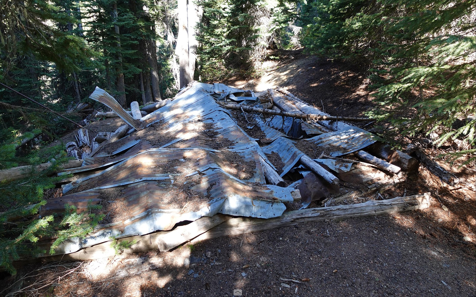
On the trail just before the first set of switchbacks (going southbound) you will encounter the ruins of a miners cabin. Extra adventurous people might chose to visit the old Glacier Peak Copper mine (48.19704, -120.98009) by departing the trail at the end of the switchback at 5680 ft and traversing east 0.2 miles flat to the mine. It's just a small opening to the mine shaft above a patch of dump rock that slopes steeply down the mountainside - not much to see really. Around Suiattle Pass there are lead and copper deposits that were prospected but not mined to any extent. Hiking this route northbound is rough because you have to pay all the elevation gain up-front. But going that direction has the advantage of walking the ridge toward Chiwawa Mountain, a non-stop inspirational view.
To find the trail southbound, depart the PCT 0.8 miles south of Suiattle Pass at the end of a NW pointing switchback. For north bounders, depart the PCT at mm 2546.5
Parts of the existing Suiattle River trail were a road until 1984 when the Glacier Peak wilderness was expanded.
