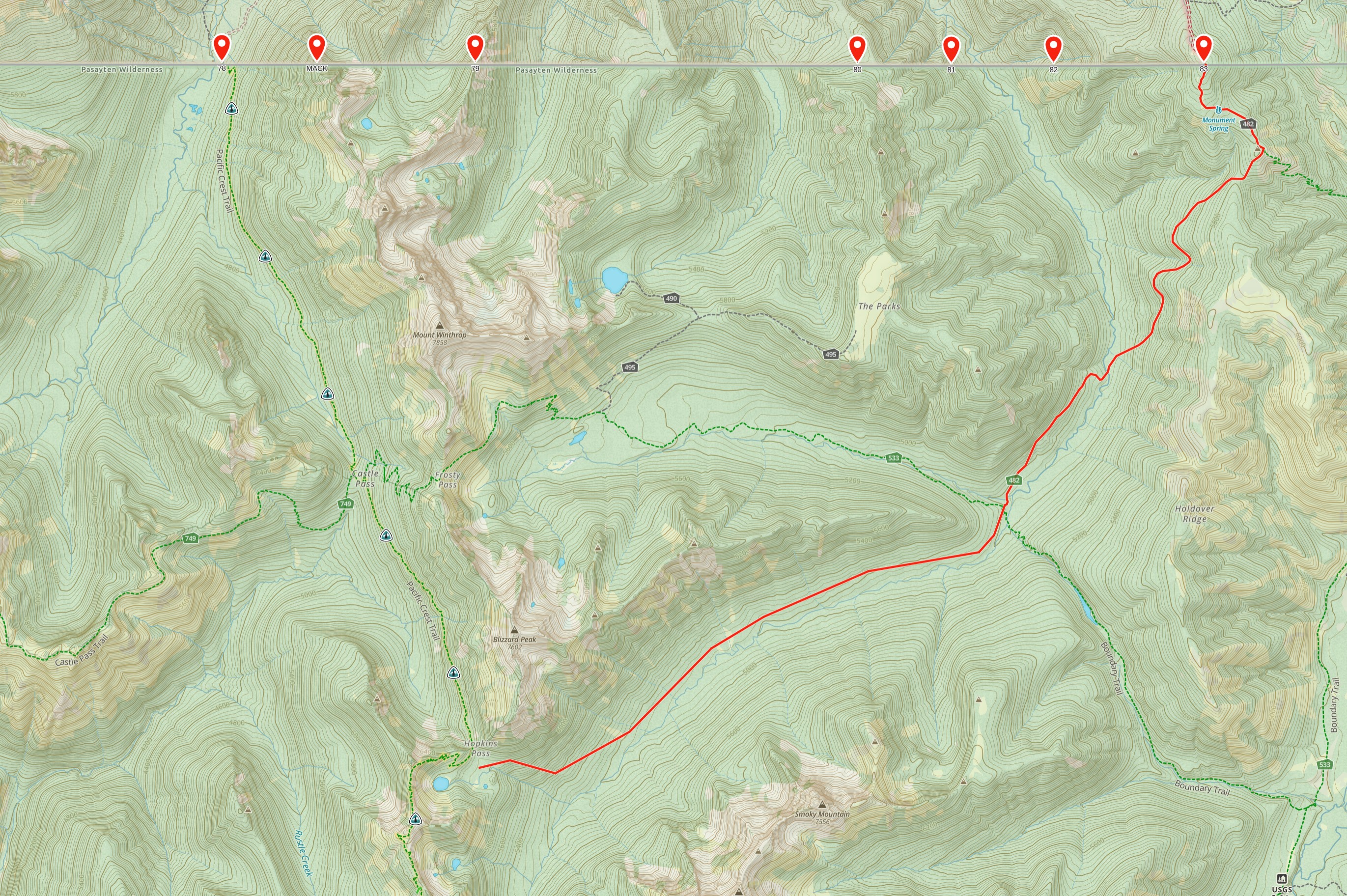
The route from Harts Pass to Canada is mostly the same today as it was originally planned.
According to the author of the book High Trails, by 1962 the route from monument 78 along Castle Creek had become impassible due to rockslides and blowdowns. He began his hike by crossing the border at monument 83 and following Chuchuwanteen Creek all the way to Hopkins Lake.
According to the 1971 PCT map, the trail to Monument 78 had been repaired by then.
From Hopkins Lake south to Harts Pass, the route has stayed effectively the same as it was in 1937.
